Facts & Figures About Legazpi
Legazpi City, the capital of Albay province in the Philippines, is known for its picturesque landscapes, rich history, and dynamic culture, anchored by the iconic Mayon Volcano. As of the latest available data, this city showcases a vibrant demographic composition and an ever-growing population.
With a population that has been steadily increasing over the years, Legazpi City has become a hub of activity in the Bicol Region. It is home to a diverse mix of people, including indigenous communities, local residents, and migrants seeking opportunities in its thriving economy. The population growth is attributed to several factors, including internal migration, natural growth, and the city’s appeal as a destination for education, employment, and business.
The demographic profile of Legazpi City is relatively young, with a significant portion of the population falling within the working-age group. This youthful demographic is a key driver of the city’s economic vitality, contributing to its labor force and entrepreneurial activities. Education and healthcare services have expanded in response to the growing population, aiming to meet the needs of residents and improve their quality of life.
Culturally, Legazpi City is a melting pot of traditions and modern influences, reflected in its festivals, cuisine, and daily life. The city’s development plans are geared towards sustainable growth, balancing economic advancements with environmental conservation and cultural preservation.
In summary, Legazpi City’s demographics and population dynamics paint a picture of a vibrant and growing urban center. Its diverse population, youthful demographics, and strategic development initiatives position it as a key player in the region’s progress and a promising location for future investments and opportunities.
 Crown Shape – Symbolizes power
Red, White and Blue colors – the colors of the Philippine National Flag
Rising Sun – Symbol of Progress
Mayon Volcano – Celebrating the beauty and grandeur of Mt. Mayon
Sea, wharf, steamer and pier – Signifies Legazpi’s designation as a port city
Bundles of Palay and Coconut Trees – Indicates that agriculture is the main industry and the chief source of income in the city with copra as the leading export product
Wing, wheel and anchor – Symbolizes the air, land and water transportation facilities of the city
Legazpi City, located in the Bicol Region of the Philippines, experiences a tropical rainforest climate, characterized by significant rainfall throughout the year, even during its driest month. This climate classification results in a lush, green environment and supports a rich biodiversity.
The city does not have a pronounced dry season, but there is a slight reduction in rainfall from March to May, which are considered the warmer months. During this period, temperatures can climb, making it comfortably warm, with average temperatures ranging from 24°C to 32°C (75°F to 89°F). The heat during these months is often tempered by occasional rainfall and the sea breeze, especially in coastal areas.
From June to November, the city enters its wet season, receiving the highest rainfall due to the southwest monsoon (Habagat). This period coincides with the typhoon season in the Philippines, and Legazpi City, given its geographic location, is prone to tropical storms and typhoons. These weather events can bring heavy rainfall, strong winds, and sometimes cause flooding and landslides in vulnerable areas.
The cooler months in Legazpi City are from December to February, when the northeast monsoon (Amihan) brings slightly cooler and drier air. Temperatures during these months are generally cooler, making it a pleasant time to visit. The average temperature during this period ranges from 22°C to 30°C (72°F to 86°F).
Overall, Legazpi City’s climate is warm and humid year-round, with variations in rainfall dictating the local weather patterns. Despite the challenges posed by the typhoon season, the city’s natural beauty, including the majestic Mayon Volcano, continues to attract visitors and residents alike. The climate supports a wide range of outdoor activities and agriculture, making it an integral part of the city’s lifestyle and economy.
Nestled in the eastern portion of Albay Province, Legazpi City is a geographical marvel that boasts a unique blend of natural landscapes. Bounded by Santo Domingo to the north, the Albay Gulf to the east, Daraga to the west, and the municipalities of Manito, Albay, and Pilar and Castilla, Sorsogon to the south, Legazpi’s location is both strategic and scenic. Situated 527 kilometers south of Manila, this city serves as a pivotal gateway to the Bicol Region’s wonders.
Spanning approximately 29 kilometers from north to south and varying from 3 kilometers at its narrowest in the urban district to 15 kilometers at its widest in the southeast area, Legazpi covers a total land area of 20,437 hectares. Interestingly, 90 percent of this is classified as rural, encompassing 18,431.66 hectares, while the remaining 10 percent, or 2,005.39 hectares, is urban.
The city’s topography is as diverse as its culture. The northeastern regions present a predominantly plain terrain, with gentle slopes ranging from five to fifteen degrees. In contrast, the southern parts of the city feature mostly rolling to hilly landscapes, offering picturesque views and challenging terrains for adventurers. The coastal areas vary from flat lands in the north to more hilly terrains in the south, reflecting the city’s dynamic natural architecture.
Legazpi is traversed by several rivers, including the Tibu, Macabalo, and Yawa, with numerous swampy areas dotting the urban district. To combat the flooding challenges in these low-lying regions, the local government has implemented an urban drainage and flood control system. This includes the construction of dikes, canals, sea walls, and three pumping stations located in the Barangays of San Roque, Bay-Bay, and Victory Village, showcasing Legazpi’s commitment to safeguarding its land and people from natural calamities.
This geographical and topographical richness contributes to Legazpi City’s status as a key economic and tourist destination in the Bicol Region, with its landscapes offering both agricultural bounty and breathtaking scenic views, especially of the iconic Mayon Volcano. Legazpi’s blend of natural beauty, strategic location, and resilient infrastructure continues to drive its growth and allure, making it a must-visit city in the Philippines.
MORE REASONS TO VISIT US SOON!
Choose Legazpi!

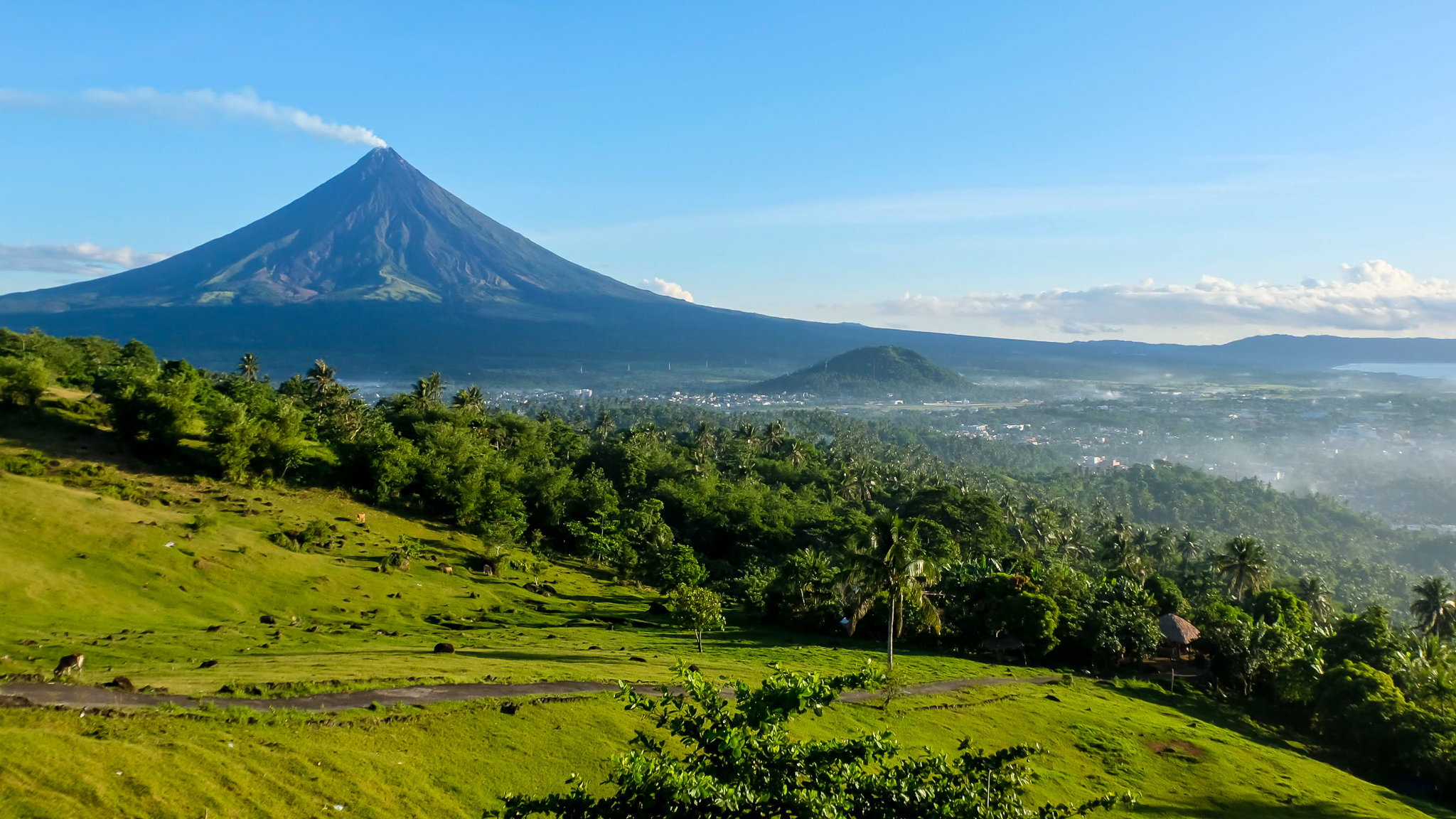
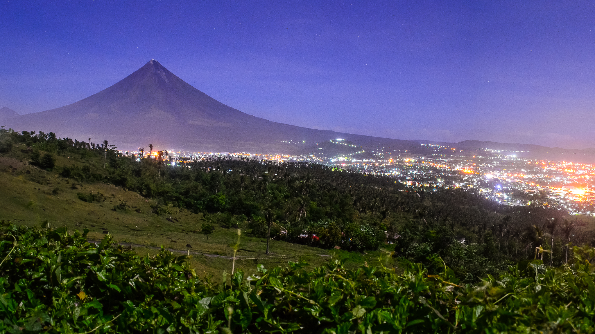
Legazpi by Day / Legazpi by Night